
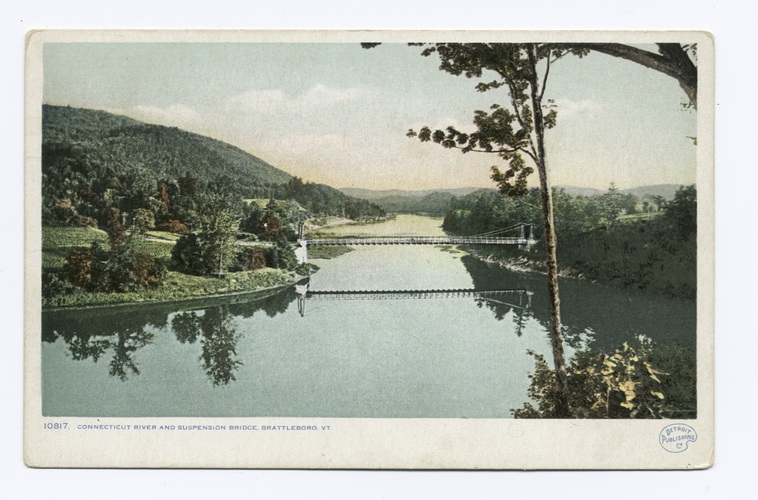
WESTMINSTER — Most waterbodies marking a boundary between two states or countries have an imaginary dotted line running down their middle. The Connecticut River does not because, as everyone "knows," the river belongs to New Hampshire.
However, as with all things human, the real circumstances are more complicated.
The reality about river ownership started with the original land grants from England, modified during the time of the American Revolution, with the present-day boundary set by a U.S. Supreme Court decision. The English grants set the boundary between then–New York and New Hampshire as the western bank of the river.
Soon after Vermont declared her independence and the signing of the Declaration of Independence occurred, community leaders in 22 New Hampshire towns (Chesterfield to Haverhill) persuaded their fellow townspeople to secede from their state. They were convinced that the actions of the Crown were no longer the law and they wanted to eliminate the river as a jurisdictional boundary.
A convention of river towns from both states met in Cornish, New Hampshire, to consider forming a state called "New Connecticut," as many of the settlers migrated to the valley from eastern Connecticut.
Instead, in 1778, the New Hampshire towns joined the Vermont Republic, and the river was no longer a boundary.
* * *
New Hampshire leaders tried to appease the rebels with political appointments and support for the idea of annexing Vermont river towns.
When these approaches failed, New Hampshire asked the Continental Congress to settle the dispute, making it clear that unless Congress returned the towns, the state would no longer contribute to the war effort.
New Hampshire then took stronger measures and threatened to send 1,000 soldiers westward to the valley, ostensibly to protect against Indigenous peoples and the British, but in reality to take back the towns Vermont had annexed.
In 1782, prodded by a letter from George Washington critical of Vermont's actions, Congressional actions, and the threat of a 1,000-man army headed its way, Vermont did a sudden about-face.
The state Assembly voted to renounce jurisdiction over all towns east of the river and any claim to jurisdiction east of the west side of the river, beginning at the low-water mark.
The river was a state boundary again - and New Hampshire got it all.
* * *
Vermont attempted to assert a claim over half the river and invited New Hampshire to appoint commissions to settle the boundary in 1792, 1794, and 1830. New Hampshire offered no response to the first two invitations and a flat-out no to the last overture.
In 1915, Vermont sued in the U.S. Supreme Court, asking to establish the boundary between the states as the thread (deepest part) of the Connecticut River. The state said it held title to the thread by virtue of English common law and, since Vermont joined the Union as a sovereign state, her boundaries were those she self-established, and the thread of the river was her eastern boundary.
The Vermont suit did not daunt New Hampshire at all. New Hampshire cross-filed with the Court to acquire jurisdiction of that narrow width of land on the Vermont shore between the low- and high-water mark.
The Court found that by passing the 1782 Resolution, Vermont had relinquished any claim to jurisdiction east of the state's shore beginning at the low-water mark, and the low-water mark was further defined as "the point to which the river recedes at its lowest stage without reference to extreme droughts."
As to the New Hampshire claim on the land between the high- and low-water marks, the Court found that even if the state had authority over the river, there would be "insurmountable difficulty, in attempting to draw any other line than the low-water mark."
Therefore, in 1934, the U.S. Supreme Court decided that New Hampshire would get its river and Vermont would get its shore land.
* * *
A court master surveyed the boundary and placed 4-inch brass disk markers at the survey points. Still on the land today, they form a necklace at 112 locations from Vernon upriver to the 45th parallel, where the river crosses into New Hampshire entirely.
Each marker gives the distance from the marker along a compass heading to the actual low-water boundary. Vermont and New Hampshire laws require that the boundary line "shall be perambulated and markers and bounds renewed wherever necessary." Vermont law proscribes that the perambulation take place "once in every seven years."
The Court even foresaw the question of power dams on the main river. Their decision said that the surveyed low-water mark would be "unaffected by improvements on the river."
The reservoirs behind the dams have now submerged the natural low-water point, but the original surveyed locations remain the border, although in some cases the boundary is more than 100 feet off the Vermont shore.
That is a brief history of how it is that Vermont owns any part of the Connecticut River. That history has and does create some understandable human puzzlement about jurisdiction over the river.
Of course, given that rivers do not care about political jurisdictions, the Connecticut River is not puzzled at all.
David L. Deen is a member of the Connecticut River Valley chapter of Trout Unlimited, the Vermont Fish and Wildlife Board, and the Connecticut Atlantic Salmon River Commission. Whenever he can, he writes and lectures about and fishes the Connecticut River.
This Voices Viewpoint was submitted to The Commons.