BRATTLEBORO — It's been the warmest winter on record in Vermont, with mean temperatures five to 10 degrees above normal and snowfall several feet below normal statewide, the National Weather Service reported at a meeting here March 17.
Such statistics meant that the gathering of state officials and emergency responders took on a different tone than originally intended. Rather than the usual discussion of ice-jam inundation, talk turned to earlier-than-usual brush-fire risks and possible flooding from heavy rainfall.
In spite of the historically mild winter, officials said there still was plenty to talk about during the annual flood-preparedness forums held throughout the state last week.
“This year, knowing that the ice threat is so low, we still recognized the importance of springtime flooding. So we tweaked it a little bit,” said Jason Gosselin of the Vermont Division of Emergency Management and Homeland Security (DEMHS). “We want communities to be prepared and know that these [governmental] partnerships exist and know who does what.”
The Brattleboro session, which also featured the state agencies of Natural Resources and Transportation and the Windham Regional Commission, followed similar meetings held earlier in the week in Waterbury, St. Albans and Johnson. The final gathering happened March 18 in New Haven.
At each, the National Weather Service presented concrete evidence of the winter that wasn't. “Spoiler alert - it was warm,” Britt Westergard, a hydrologist with the weather service's office in Albany, N.Y., said as she started her presentation at the Brattleboro meeting, held in a conference room at the Brattleboro Retreat.
Westergard displayed color-coded maps showing statewide temperatures that represented a “pretty dramatic departure - not just a little bit above normal.”
She also detailed snowfall amounts that are 2 to 3 feet below normal in much of the state and 3 to 4 feet off pace in the mountains. Snowfall was 35 to 60 percent of normal amounts in most of Vermont, with even lower percentages in the state's southern mountains.
This time last year, Westergard said, 50 to 75 inches of snow covered southern Vermont's higher terrain. On the morning of March 17, “I drove [Route] 9 all the way over here from Albany and didn't see a lick of snow the whole way,” she said. “I was searching for any kind of river ice that I could find and was unsuccessful in that as well.”
That meant the traditional purpose of the state's spring flood-risk meetings had been rendered mostly moot.
“Basically, as far as when [ice jams] happen, now is generally it. Which I think is generally why we do these meetings this time of year,” Westergard said.
But with little to no ice remaining, she said, “I think we're really past the time of year where we could see significant ice formation.”
But there were other risks to discuss. Westergard said that, overall, recent precipitation has been about normal - though it has been falling as rain rather than snow.
“The stream flows really are above normal for this time of year,” she said. “So the greatest threat for flooding at this point would be a heavy rainfall.”
On the other end of the spectrum, a lack of melting snowpack also has led to unusually dry conditions in some areas. Westergard warned of “a possible early start to your brush- and grass-fire season.”
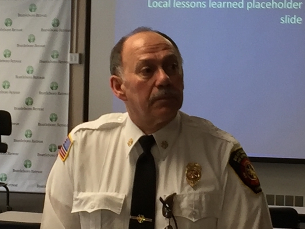
That struck a chord with Brattleboro Fire Chief Mike Bucossi, who was among the local emergency and municipal officials attending the March 17 meeting.
“Because of the low snowfall in the spring, all of the litter, if you will, from last fall - brush, leaves, anything that's come off the trees - has sat on the woods floor and has had a chance to start decomposing and drying out,” Bucossi said afterward. “So it does raise our awareness.”
He added, “truly, we're into springtime conditions now. This is one of the earlier times we've seen it.”
Most of the March 17 meeting focused on the role of various state and federal agencies and the regional planning commission during disasters. For many, the frame of reference for such discussions is still Tropical Storm Irene.
When that storm spurred devastating floodwaters in August 2011, emergency plans quickly were put into action in Brattleboro and throughout the state.
“The big thing in this room is all of the agencies that are represented and how well everybody works together,” Bucossi said. “It's just good to get everybody into one room.”
